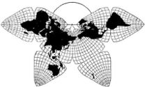
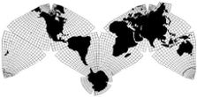
Cahill 1909
| Go to Gene Keyes home page |
|
| Go to complete linklist of Cahill-Keyes map development |
|

|

|
|
Cahill 1909
|
Cahill-Keyes 1975 |
Cahill-Keyes World Map by Others
A gallery of 9 different versions: published, and drafts in progress
For
comparison, these images — whose originals vary from 10 inches to 132 feet
— are each resized to ca. 35 cm long (14"), ca. 1:115 million, more or less,
depending on your monitor's size and resolution. (I selected a setting of
960 pixels in a 965 pixel frame, so as to show the entire world span on a
screen.) Until I make a slide show, you may want to open each world map in
a separate tab, then click from one to the next to appreciate their variations
at a glance. There are also three extra frames at the end showing detail
close-ups of selected map areas.
|
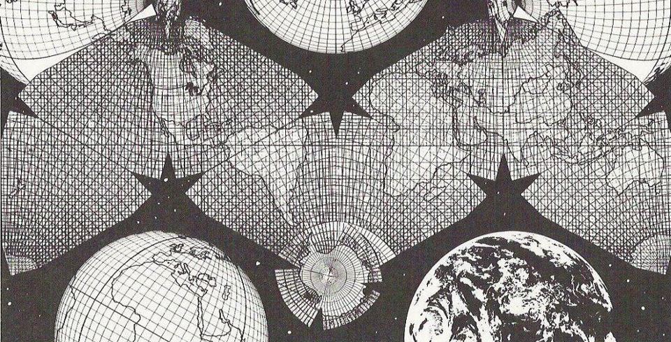
| 1) [Prequel: original hand-drawn design by Gene Keyes, 1975.]
|
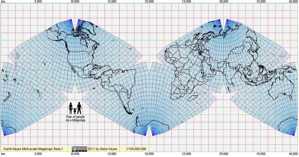
| 2) Beta-1 computer graphic at 1º, programmed by Mary Jo Graça, 2011; layout by gk. Original size 40 long (132'), at 1:1.000,000.
|
3) The New York Times, one of 10 Cahill-Keyes thematic maps by Jonathan Corum, 2011-12-16. Original size 26 cm (10".)
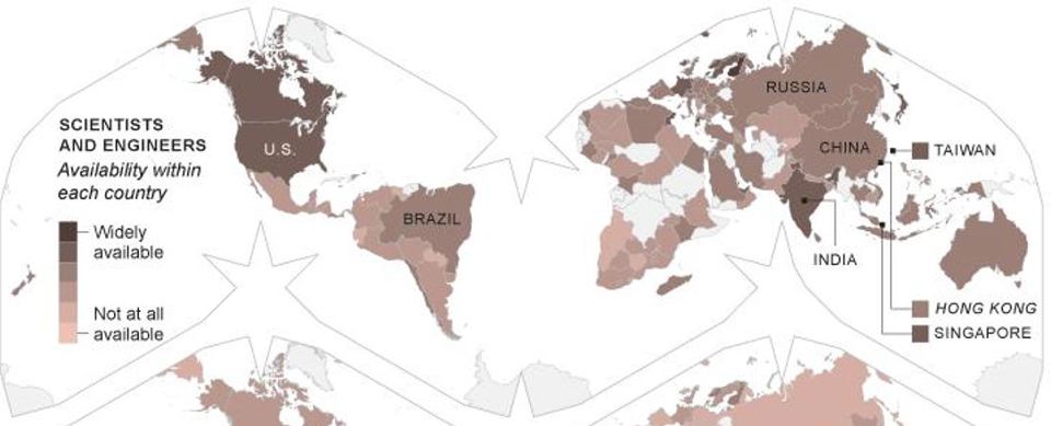
|
4) Beta-2 computer graphic at 1º programmed by Mary Jo Graça, 2012, with re-united Antarctica.
Lakes and updated borders by Duncan Webb. This is now the basic chassis of the Cahill-Keyes World Map at any scale from 1/1,000,000, as well as larger or smaller. 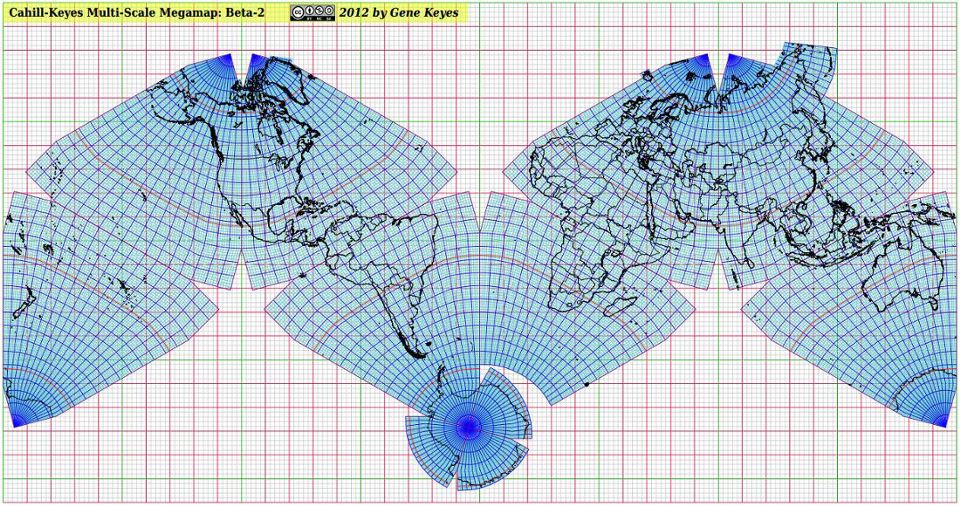
|
| 5) The first published Cahill-Keyes World Political wall map, by Duncan Webb, 2014-02, at 1/27,000,000, and 61" (156 cm) long.
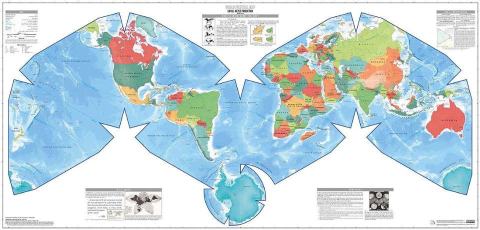
|
| 2012-12
6) Joe Roubal: 1º satellite composite, a jpeg screenshot, reduced from a 1,374 MB 1/10 million tiff, 4 m (13') long: counterpart of his award-winning Cahill-Keyes 1º globe. (This superb incomplete draft is a close approximation of the Cahill-Keyes Octant Graticule, but lacking its "supple zone" adjustments to prevent kinks at the octant joints.) 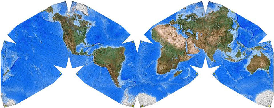
|
|
2013-07 7) An early visualization by WorldsForge Private Limited for gaming purposes. Reduced from a 108 cm (42") draft, 1/37,000,000. ©2013, WorldsForge Private Limited; used by permission. http://www.worldsforge.com 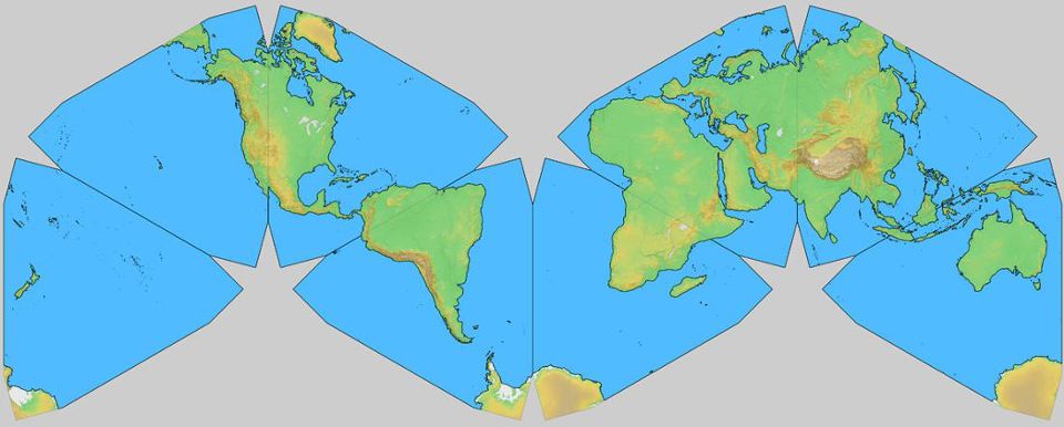
|
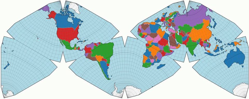
|
| 2014-07
9) Another D3 by Spinielli, in blue silhouette, for potential use as a TV news anchor's backdrop: 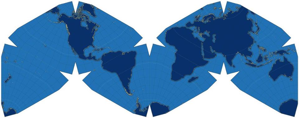
|
|
Detail: screenshot cuts from Duncan Webb wall map (#5 abpve), at 1/27,000,000, showing West Africa and Antarctica. 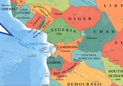 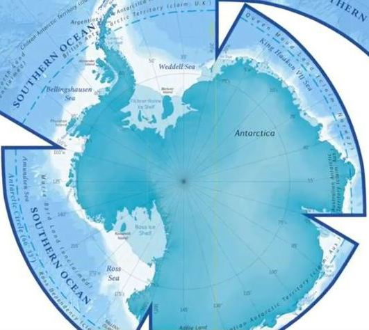
|
|
Detail: excerpts from Joe Roubal draft map (#6 above), at 1/10,000,000, showing Canadian Maritimes, and Colombia and Panama. 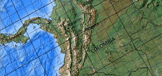
|
|
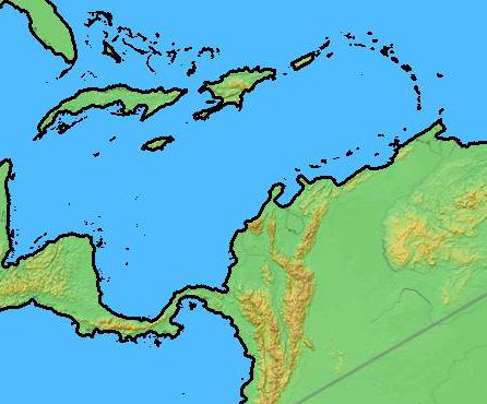
Detail: excerpts from WorldsForge Private Limited draft map (#7 above), at 1/37,000,000: Southeast Asia, and the Caribbean. ©2013, WorldsForge Private Limited; used by permission. http://www.worldsforge.com 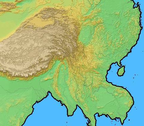
|